
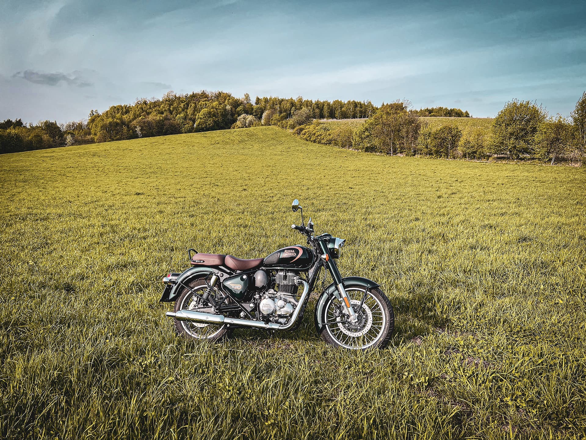
Passes of the Beskid Wyspowy - in the rhythm of the curves
This route, leading through the mountain passes of Kraków, Beskid Makowiecki and Beskid Wyspowy, is designed for those who simply want to leave the city behind and ride—following quiet, winding, scenic roads.
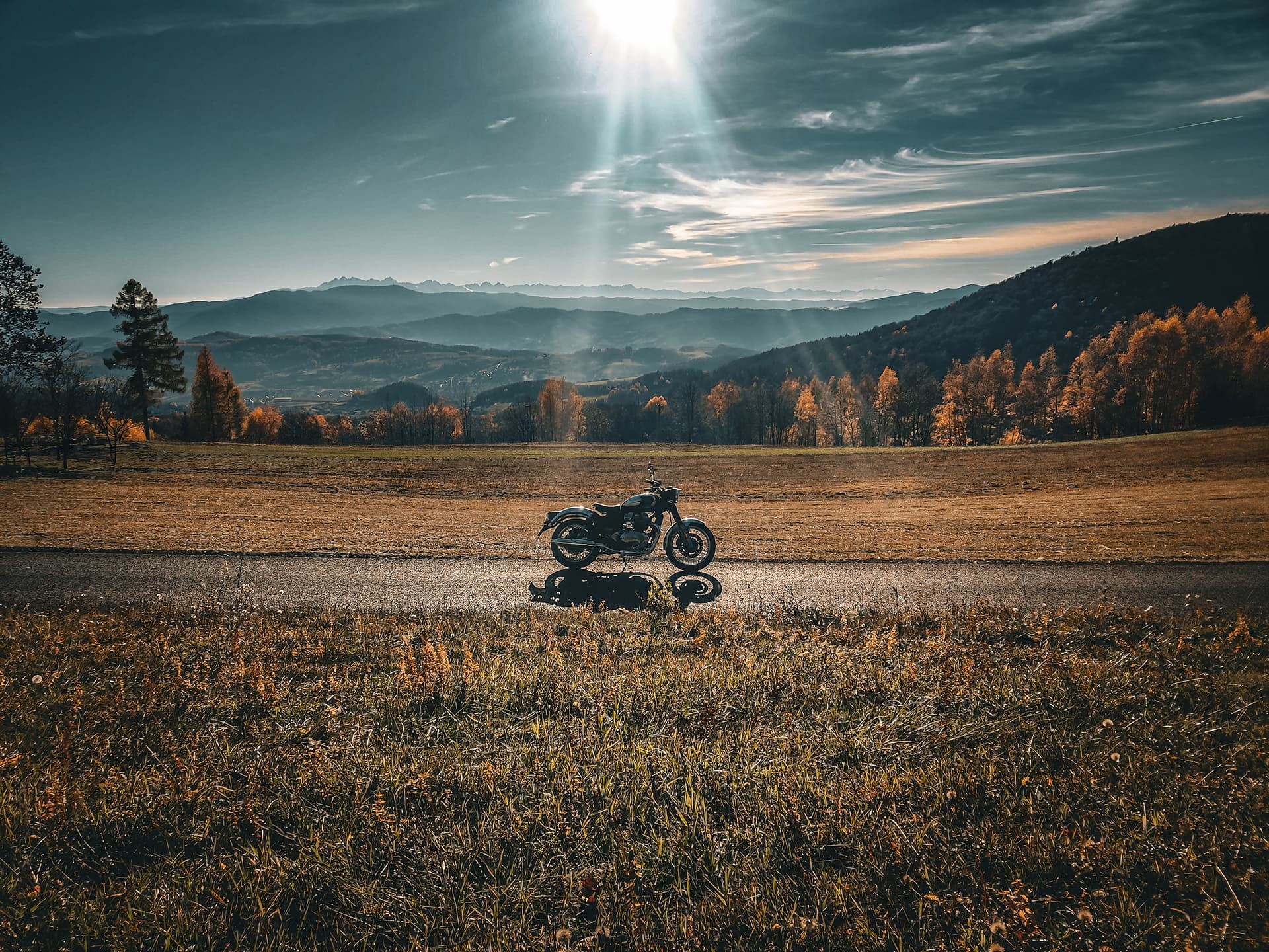
Although our content usually focuses on landmarks and historical curiosities, this time we skip sightseeing stops altogether. The goal here is straightforward: pure riding enjoyment. What matters are the corners, elevation changes, and the constantly shifting landscapes.
Does Kraków even have mountain passes?
At first glance, the idea of “mountain passes in Kraków” might sound questionable. But surprisingly, it’s accurate.
Kraków is unique in that within its boundaries you can find at least four such points—so the plural form is fully justified. The first one on our route is Przegorzalska Przełęcz, located less than 5 km from the Main Market Square in Kraków. At its highest point, it reaches about 246 meters above sea level, making it a fitting introduction to what comes next.
Crossing the pass, we leave behind the Przegorzalski Castle and continue along winding roads skirting Srebrna Góra and the nearby Przełęcz Bielańska.
In this version of the route, we choose the bypass to quickly reach the Zakopianka and continue toward Myślenice—the next key waypoint. A quieter alternative avoiding busy roads is possible, but here we opt for a more time-efficient approach.
Passes of the Beskid Makowiecki
After reaching Myślenice—which should take around 30 minutes on a motorcycle—we turn toward Osieczany. For a bit of variation, we take a slightly longer route leading to Przełęcz Niwka. After crossing it, we rejoin the main route and, passing through Trzemeśnia, head toward Przełęcz Zasańska.
This pass marks the transition between the Beskid Makowiecki (sometimes referred to as the Myślenice Beskids) and the Beskid Wyspowy.
Entering the Beskid Wyspowy
As we cross Przełęcz Zasańska, the landscape opens up toward the Krzyworzeka valley and the surrounding peaks. Directly ahead stretches the Ciecień range, with its two distinct summits: Grodzisko and Ciecień. Separating them is Przełęcz pod Grodziskiem. While reaching the top is straightforward, continuing beyond it is limited to hiking or cycling routes.
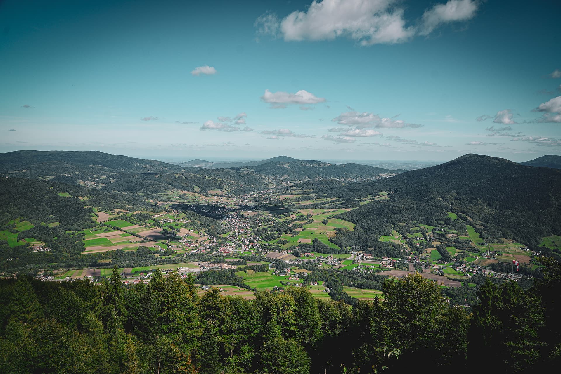
Looking south from Zasańska, the number of visible passes becomes surprisingly high. From west to east, you can spot Przełęcz Jaworzyce, Przełęcz Wierzbanowska, and Przełęcz Wielkie Drogi.
From the village of Wiśniowa, looking west, you’ll notice Przełęcz Sucha—accessible mainly to hikers and cyclists.
Although Przełęcz Jaworzyce is reachable by road, including it would require a detour. Meanwhile, Przełęcz Wierzbanowska and Przełęcz Wielkie Drogi, located less than a kilometer apart, offer noticeably better riding and views.
A noticeable shift
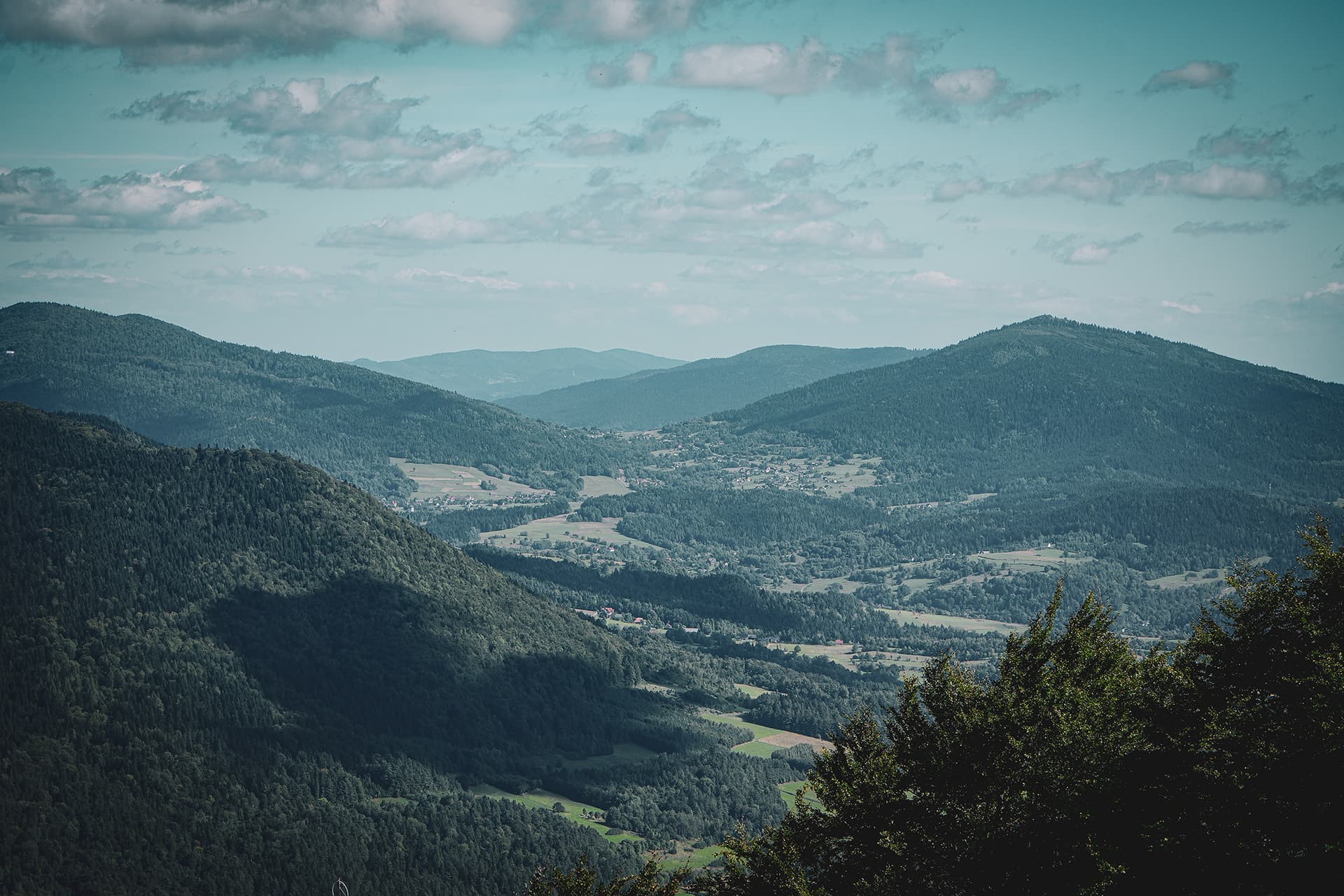
Crossing Przełęcz Wielkie Drogi often comes with a clear change in temperature and weather conditions. Differences between the two sides of the pass—and between the Beskids and the foothills—can be quite distinct.
Descending into the valley of the Kasinka stream, between Lubogoszcz and Śnieżnica, we head toward Przełęcz Gruszowiec, located between Śnieżnica and the slightly higher Ćwilin.
Worth mentioning, though left aside this time, is Przełęcz Glisne—a good option for a future variation of the route.
After crossing Gruszowiec, we turn south toward Jurków and then Chyszówki. Climbing further, we reach Przełęcz Rydza Śmigłego—not the highest, but certainly the longest-named pass on the route.
For a moment, the view opens onto the basin around Limanowa, but we continue along the Czarna Rzeka valley. After passing through Słopnice, we turn south again and follow the road toward the next climb.
Toward the highest point
Following the Słopniczanka stream would naturally lead us to Przełęcz Słopnicka—and that would be correct. However, we first head to Przełęcz pod Ostrą.
Why? The road leading there is one of the more engaging motorcycle routes in the area and is simply better ridden uphill. Additionally, the southern view is more open, revealing the Modyń mountain, while the northern side is largely forested.
In contrast, approaching Przełęcz Słopnicka from the south offers a broader view of the surrounding basin. Choosing this order also allows us to include one more nearby pass.
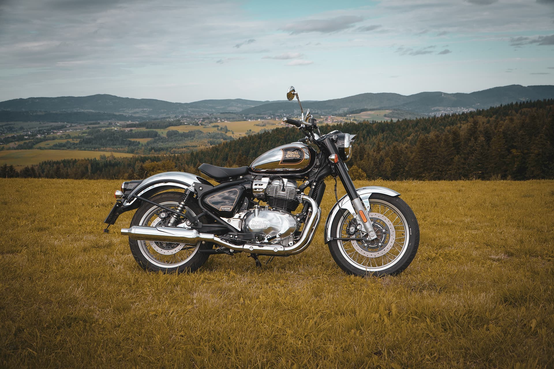
Notably, Przełęcz pod Ostrą is the highest point on the route, reaching 812 meters above sea level.
If you have more time
The route is designed to take about 4 hours without stops. If you have extra time, it’s worth extending it to include Przełęcz Cisowy Dział.
This is likely the least frequented pass on the route, yet it offers one of the best views—stretching toward the Gorce Mountains and the distant Tatra range. From Przełęcz pod Ostrą, a short detour via Młyńczyska gets you there in under 10 minutes.
Heading back north
Whether you choose the shorter or extended version, Przełęcz Słopnicka remains a key turning point. From here, we head back north, avoiding the busier roads around Limanowa and aiming for the final pass: Przełęcz Widoma.
The road has recently been fully reopened, and at the top you’ll find a small parking area and a modest viewpoint. It’s worth a brief stop—this is where the route begins its final descent.
Room for variation
The final stretch follows the popular route 965 toward Nowy Wiśnicz. While still enjoyable, there are more interesting alternatives—especially for those looking to avoid busier roads and highway sections.
A longer version of this route is already in mind. It will expand the loop, include additional highlights, and avoid major traffic routes such as the bypass, Zakopianka, and highways.
There’s also a plan to complement this guide with a video version of the route.