
The obvious is often overlooked
The launch of the 100KRK service became an impulse to verify doubts and hypotheses formed years earlier while traversing Lesser Poland on two wheels. Exploring the surroundings of Kraków — deep valleys, uplands, and seemingly unremarkable spaces — at a moderate cycling pace (at least when compared to motorcycle speed) allowed for a careful examination of terrain details.
And so, assumptions began to emerge regarding the former function of certain places. However, due to lack of time, significant distances, and terrain difficulties faced by an amateur cyclist in Lycra and stiff shoes with SPD-SL cleats, these locations were never revisited.
A new era
Over time, access to data has changed. Knowledge once reserved for the few or requiring enormous time and financial resources has become significantly more accessible. Although there is still much to be done in terms of access to archival sources, today’s online services and technologies offer capabilities that once cost a fortune.
A key role is played here by aerial imaging using drones and LiDAR technology. The latter can be considered a breakthrough in the study of terrain structures. It allows one to “see beneath” tree canopies and detect forms invisible to the naked eye. Although the most precise data still relies on costly aerial surveys, laser rangefinder-equipped devices are becoming increasingly widespread, and their price continues to decline.
LiDAR and field reconnaissance
The combination of modern technologies with the desire to verify intriguing locations did not dispel doubts, but rather multiplied them. Analysis of terrain morphology at many remembered points confirmed earlier assumptions. This includes not only the anomalies described on the blog in Rusocice or on Buczyna Hill in Tenczynek, but also many other sites.

The most interesting aspect of the examined locations is their obviousness combined with their absence from mainstream academic studies. These sites exhibit conditions similar to the well-known Grodzisko Hill in Tyniec: positioning near significant watercourses (including the Vistula), extremely steep slopes, and strong control over surrounding routes.
Although the existence of former settlements in these locations remains hypothetical, the collected evidence prompted notification of the Regional Office for the Protection of Monuments (WUOZ).
Kraków hillforts
The subject of ancient hillforts, including those located within the boundaries of present-day Kraków, is not among the most widely discussed topics, although it is by no means esoteric knowledge. Beyond such obvious sites as Wawel Hill, the Okół settlement, the Monastery Hill in Tyniec, or the aforementioned Grodzisko Hill, there were likely at least several other fortified sites within the city.
This does not refer to the hillfort in Piekary — as it is separated from the city limits by the wide Vistula channel and its former riverbed — but rather to other locations considered highly probable. These include the vicinity of Wanda Mound, Kraków’s Salwator, the strategic hills of Krzemionki, as well as the areas of Bieżanów, Prokocim, and Podgórze Duchackie.
The lack of settlement activity in river valleys such as the Wilga, Drwinka, or Serafa would be rather surprising.
“The darkest place is under the lamp”
Whether more hillforts once existed within present-day Kraków, and if so their exact locations, remains largely speculative—buried beneath a thick layer of concrete. But is the matter truly settled?
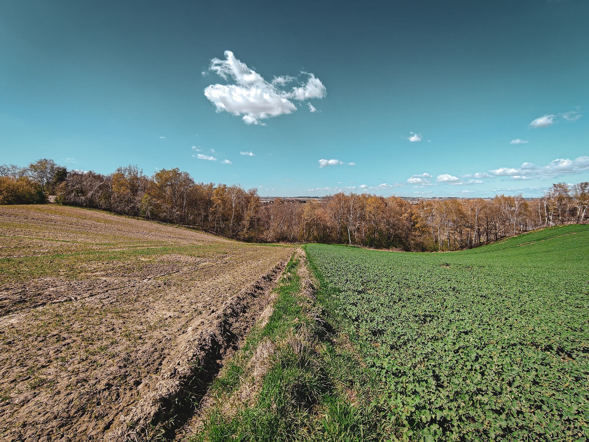
Although rapid urban development and the increasingly intensive “processing” of the landscape have accelerated like never before, within the city limits one can still find areas of rural, and even semi-wild, character.
The situation of already reported sites on Sokola Hill and Buczyna Hill suggests otherwise. These locations, despite topography that almost “shouts” for attention, remain absent from official historical and archaeological studies. This raises the question: could similarly forgotten places be hiding within Kraków itself?
Kraków is a distinctly academic city, home to numerous institutions dedicated to the study of the past, including the Institute of Archaeology and Ethnology of the Polish Academy of Sciences, the Institute of Archaeology of the Jagiellonian University, and the Archaeological Museum. Beyond the archaeological community, the city gathers a large number of historians, surveyors, geologists, and many other specialists whose expertise should enable precise identification of terrain anomalies.
Yet the saying “the darkest place is under the lamp” did not arise without reason 😉
The Lucky Fool Always Wins
It is difficult to determine whether this is a matter of chance, or the result of effectively applying a simple method for locating hillforts, manor houses, and defensive settlements. Just a few minutes after implementing a bold plan to search for “lost” hillforts within Kraków, a previously unknown, unnoticed, or entirely overlooked site appeared on the map.
A motte-and-bailey structure? A fortified manor? Or perhaps another form of defensive settlement?
The guiding maxim of “the darkest place is under the lamp” made it difficult to dismiss the significance of the find, yet rigor demanded verification. The first step was to consult the database of the Archaeological Museum in Kraków. Result: no data. However, given the limited scope of the digital archive, the absence of an entry could not in any way be considered conclusive.
The next step was a quick “query” in the database of the National Heritage Institute (NID) — again, a dead end. During this search, however, another, secondary thread emerged. While not unusual in Kraków and its surroundings, it represents a matter as solid as stone, and one worth returning to later in this entry.
With the “first aid” tools failing to produce results, it was time to dig deeper. Although in such a well-documented region of Poland one might get the impression that instead of going deeper, one is actually drifting into the broader waters of history.
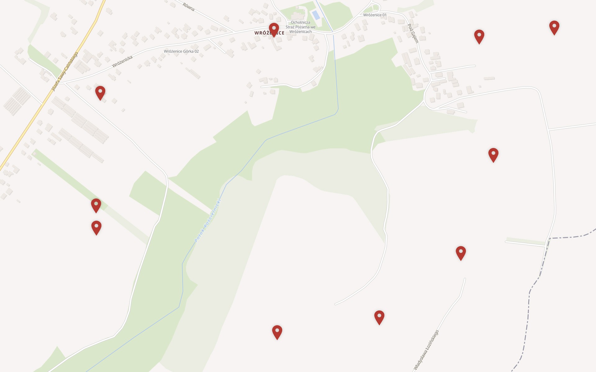
The History of Wróżenice
The location of this mysterious site is not particularly surprising, although for an average Kraków resident it is almost a terra incognita. The areas around Kościelniki do not attract much attention from inhabitants of the city centre, even though both they and the neighbouring Wróżenice have long formed an integral part of the urban fabric. This can easily be verified by enabling the “city boundaries” option in the service.
Guests by necessity and by choice
Apart from historical figures who once visited the Włodziski Palace, and the local inhabitants themselves, these areas were probably most frequently visited by soldiers of the Austro-Hungarian army. They, however—much like today’s residents—had little choice, brought here by duty and the strategic position of the Fortress of Kraków.
Residents of this part of Nowa Huta might take offence at such a description, but from an external perspective it is a rather bleak, overlooked area, almost entirely unknown to most inhabitants of Kraków. The agricultural character of these lands, cultivated with effort for millennia, effectively discourages tourism. Fortunately, so far it has also remained outside the interest of developers.
For archaeologists, however, it is a true paradise—albeit a specific one: a “promised land” mainly for researchers who devote themselves with passion to the analysis of… stones.
In these very natural and urban circumstances, in the shadow of forgotten routes, it survived…
Czech film
A significant portion of present-day Kraków and its surrounding areas came under ecclesiastical ownership already at the dawn of the city’s history. Although this dominance had its drawbacks, it is impossible not to acknowledge the extraordinary meticulousness and effectiveness of the clergy in managing their estates. Most importantly, they were characterized by an almost iron discipline in recording all elements of daily life—both significant and seemingly trivial.
Today it is difficult to judge how important the transfer of a dozen eggs actually was, yet such entries are abundant in monastic documentation.
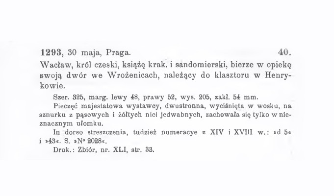
Wróżenice—known in historical records under earlier names such as Wozenice, Wrolnicze, or Wrozenycze—first appear in historical sources in 1293. It was then that Wenceslaus II took under his protection the “manor in Wróżenice,” which at the time belonged to the Cistercian monastery in Henryków (present-day Lower Silesia).
Just a year later, the same monarch—King of Bohemia, Duke of Kraków and Sandomierz, and Margrave of Moravia—granted the Cistercians the privilege to found Wróżenice under German law. However, these were not the monks from Henryków, but those from another Silesian monastery in Lubiąż, who had already arrived at Mogiła near Kraków in 1222.
It is thanks to the transfer of estates (and documentation) from the Henryków monks that the Archive of the Cistercian Museum in Mogiła (today the heart of Nowa Huta) can present the facts cited above.
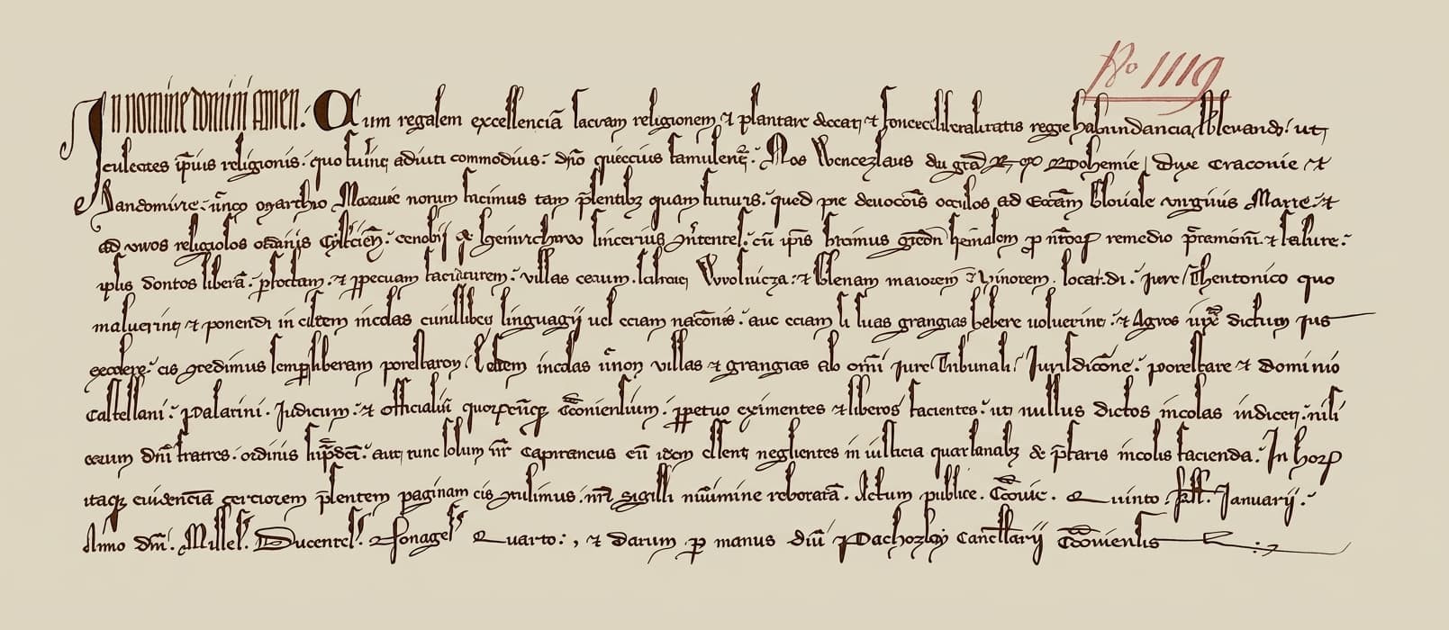
In the name of the Lord, Amen. Since it is fitting that royal excellence should promote and support the holy religion with royal generosity, so that its adherents may serve God more peacefully the greater the privileges with which they are endowed.
We, Wenceslaus, by the grace of God King of Bohemia, Duke of Kraków and Sandomierz, and Margrave of Moravia, make known to both present and future that, turning our devout regard toward the Church of the glorious Virgin Mary and toward the monks of the Cistercian Order in Henryków, serving God there, we show them special grace for the salvation of the souls of our ancestors and of our own, granting them full and free authority to establish their villages, namely Wolnica and Greater and Lesser Glewa, under German law, in whatever manner they choose, and to settle in them people of any language or nation, or, if they prefer, to establish manorial farms there.
We also grant them full freedom in the cultivation of fields according to the said law. We further free the inhabitants of those villages and manors from all jurisdiction and authority of judges, castellans, palatines (voivodes), judges, and their officials, making them free forever, so that no one shall dare to judge the said inhabitants, except the abbot of the said order or, at the time, our starosta, should the monks prove negligent in rendering justice to the complaining inhabitants.
For greater certainty of this matter, we have given them this document, fortified with our seal. Given publicly in Prague, on the fifth day before the Ides of January (9 January), in the year of Our Lord one thousand two hundred and ninety-four, by the hand of Lord Zacharias, chancellor of the court.
“The Gródek” in Wróżenice
The previously mentioned source indicates the existence of a manor in Wróżenice that came under the protection of Wenceslaus II. We do not know—and most likely will never know—whether this decision resulted from the poor condition of the structure, a need for expansion, or perhaps the pursuit of the ruler’s own political objectives. Equally uncertain is the question of terminology: whether the structure mentioned in the record could actually be described today as a “manor”.
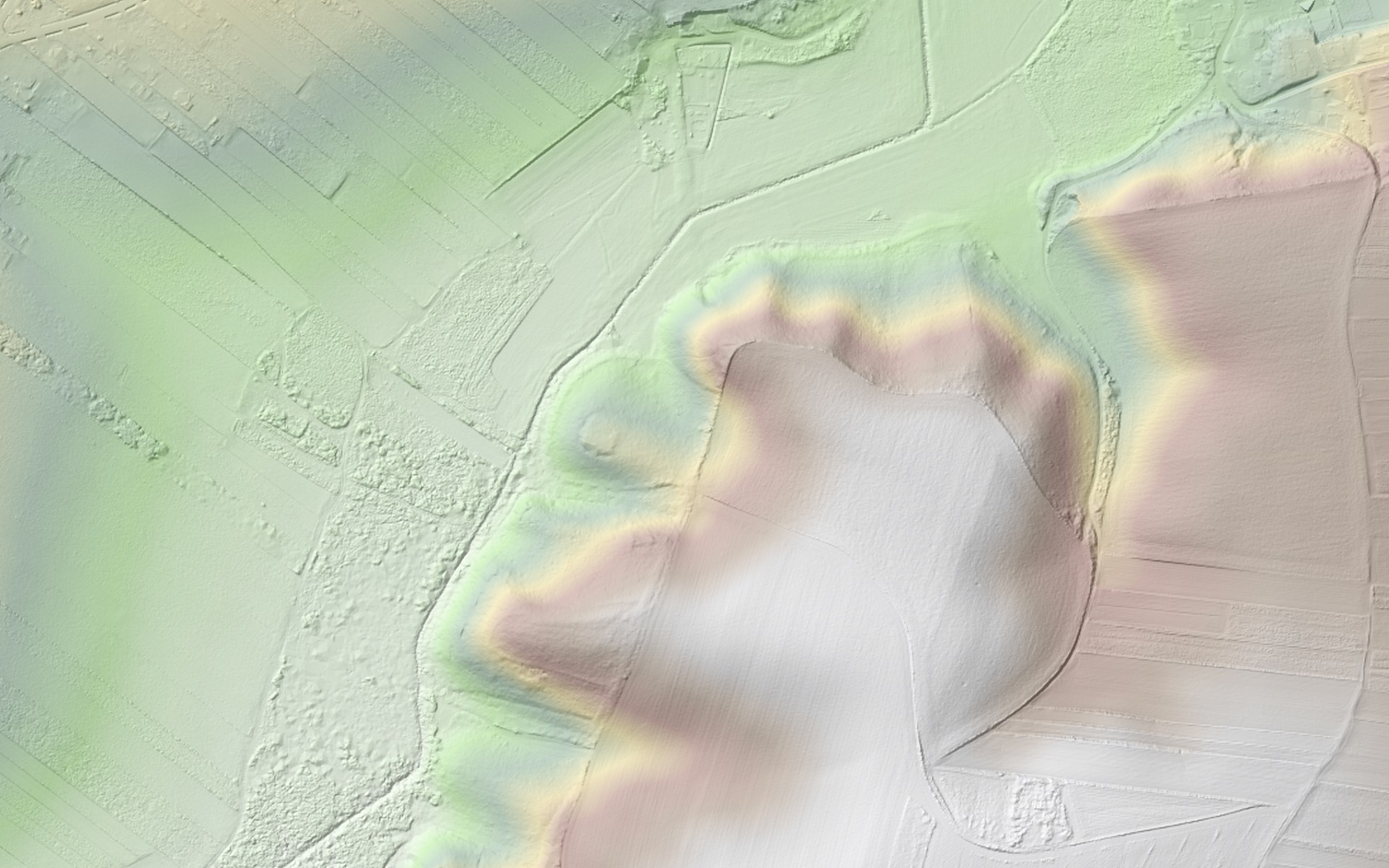
A far more tangible element is the earthen embankment emerging at the foot of the hill, protecting the site from the western side. Nearby, wrapping around the hill from the west and partially from the north, runs a ditch formed by the channel of the Kościelnicki Stream. Although such a layout would fit perfectly within a defensive interpretation of the site, the unnaturally regular course of the channel suggests it is not entirely a product of nature. This hypothesis is supported by 18th-century maps, where the stream is shown significantly further from the base of the hill.
![Wróżenice. Western Galicia – First Military Survey (1801–1804). West Gallicien [B XII a 100]](/_astro/wrozenice-zachodnia-galicja-pierwsze-badanie-wojskowe.CJ3yyTo8_1xA1Ui.jpg)
Slightly later, highly precise Austro-Hungarian cartographic editions from the 19th century show a different situation. In this case, the waters of the stream are located at almost exactly the same distance from the site as they are today.
Interestingly, these maps already include the designation “T.Z. Wrozonice 127.21” (Triangulations-Zone). This refers to a triangulation point—a geodetic marker that, in a somewhat modernized form, still serves as a reference for surveyors and cartographers today.
Most importantly, the site identified through terrain shading was already, even in the 18th century, a forgotten element of the landscape, concealed by dense vegetation.
It must, however, be noted with regret that the area of Wróżenice was not included in the earliest mapping of Galicia—Galizien und Lodomerien (1779–1783). At that time, cartographic work ended at the boundary defined by the Vistula River, meaning that only Kraków itself appeared on the sheets in the immediate region. This does not change the fact that praise for the Austro-Hungarian cartographic service is fully justified. A simple comparison of their maps with those produced under the eastern partition clearly demonstrates the superiority of Viennese mapping: in measurement accuracy, terrain representation, and attention to topographic detail—despite the cartographers often bearing Hungarian surnames 😉
![Wróżenice. Galicia and Bucovina (1861–1864) – Second Military Survey of the Habsburg Empire [B IX a 387]](/_astro/wrozenice-galicja-i-bukowina.8x1CGip8_Z2tuO9y.jpg)
Vegetative state
Although the beginning of this year’s April has not been particularly generous in terms of weather, the vegetation—having already felt the warm March sunlight—shows no intention of slowing down. This very fact encouraged a field excursion, despite the gusty, cold winds sweeping across Kraków.
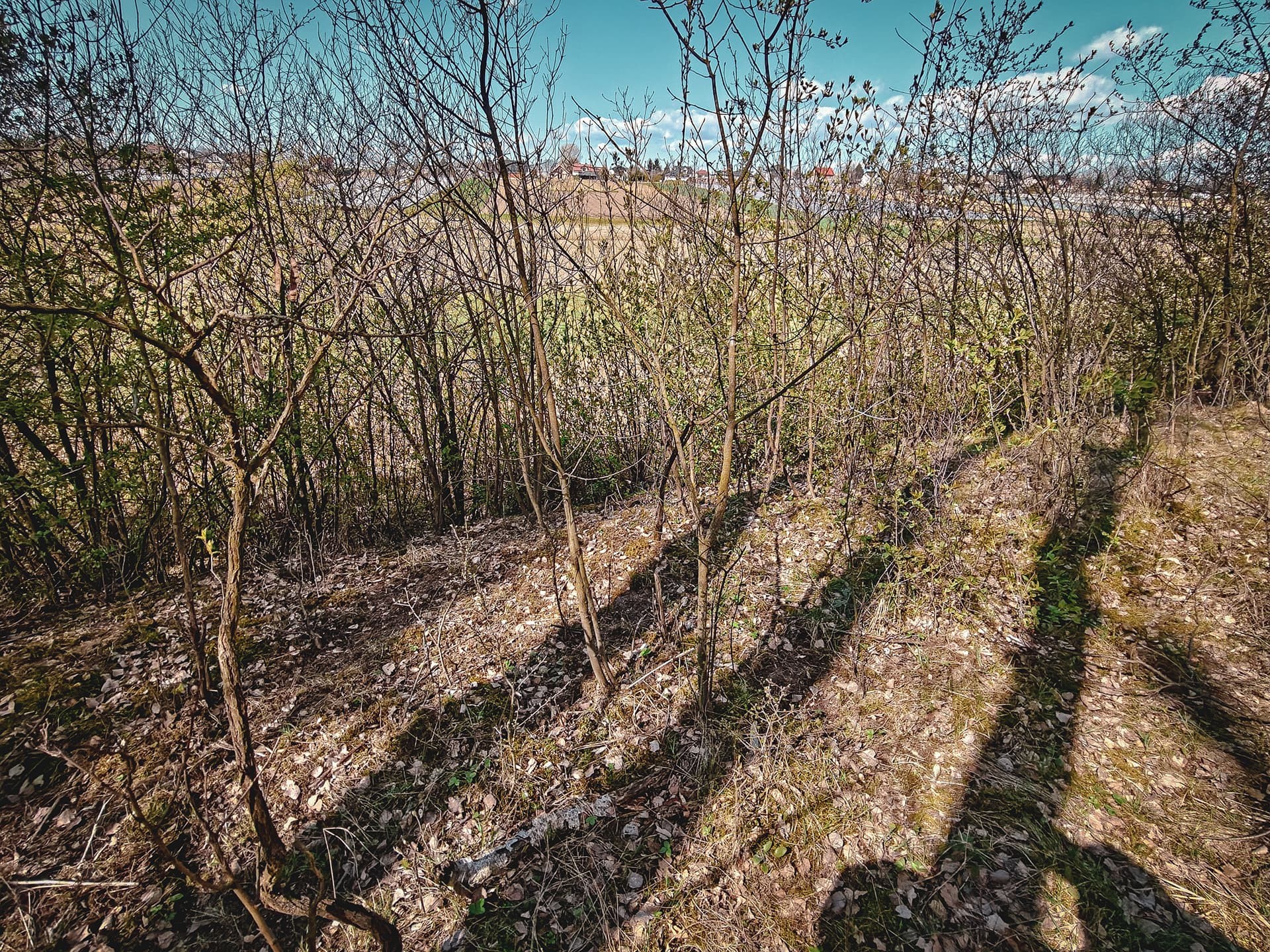
Upon reaching Wróżenice, the first task was to assess the most viable approach from the western side, which also offers the best vantage point over the site and the entire hill. However, dense built-up areas, the width and depth of the stream, and the waterlogged terrain along its course effectively discouraged any attempt to cross the valley from that direction.
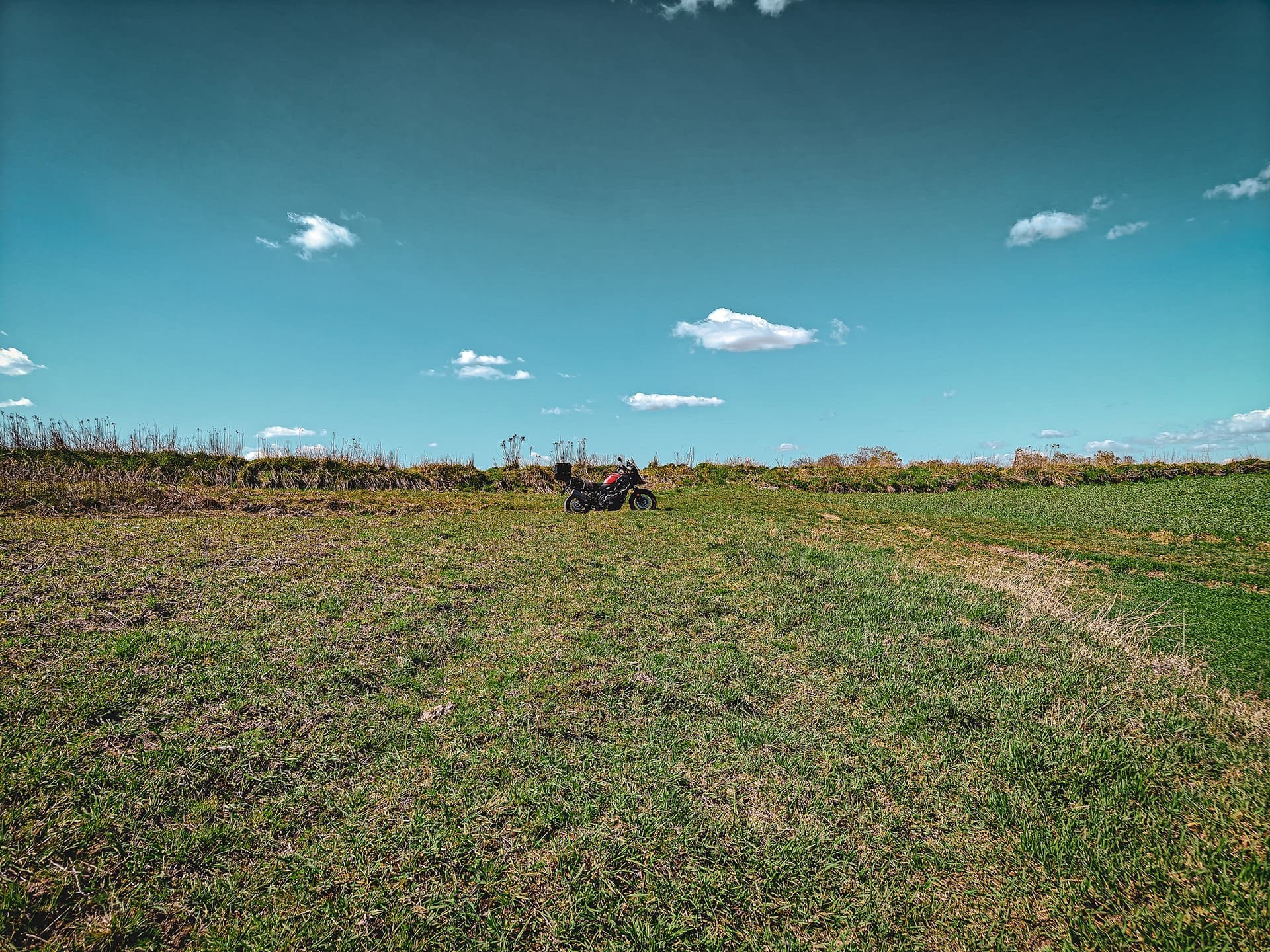
The only viable option proved to be the route visible on maps already from the 18th and 19th centuries. Although it was by no means the most convenient path—being rough and treacherous—no major obstacles stood in the way of riding a motorcycle up to the previously mentioned triangulation point. Given the impossibility of continuing the ride directly to the site itself, the more reasonable option would likely have been to leave the machine at the foot of the hill and continue on foot through the forest.
To reach the summit, one is left with nothing but balancing along a narrow, soggy field boundary.
The perplexing site
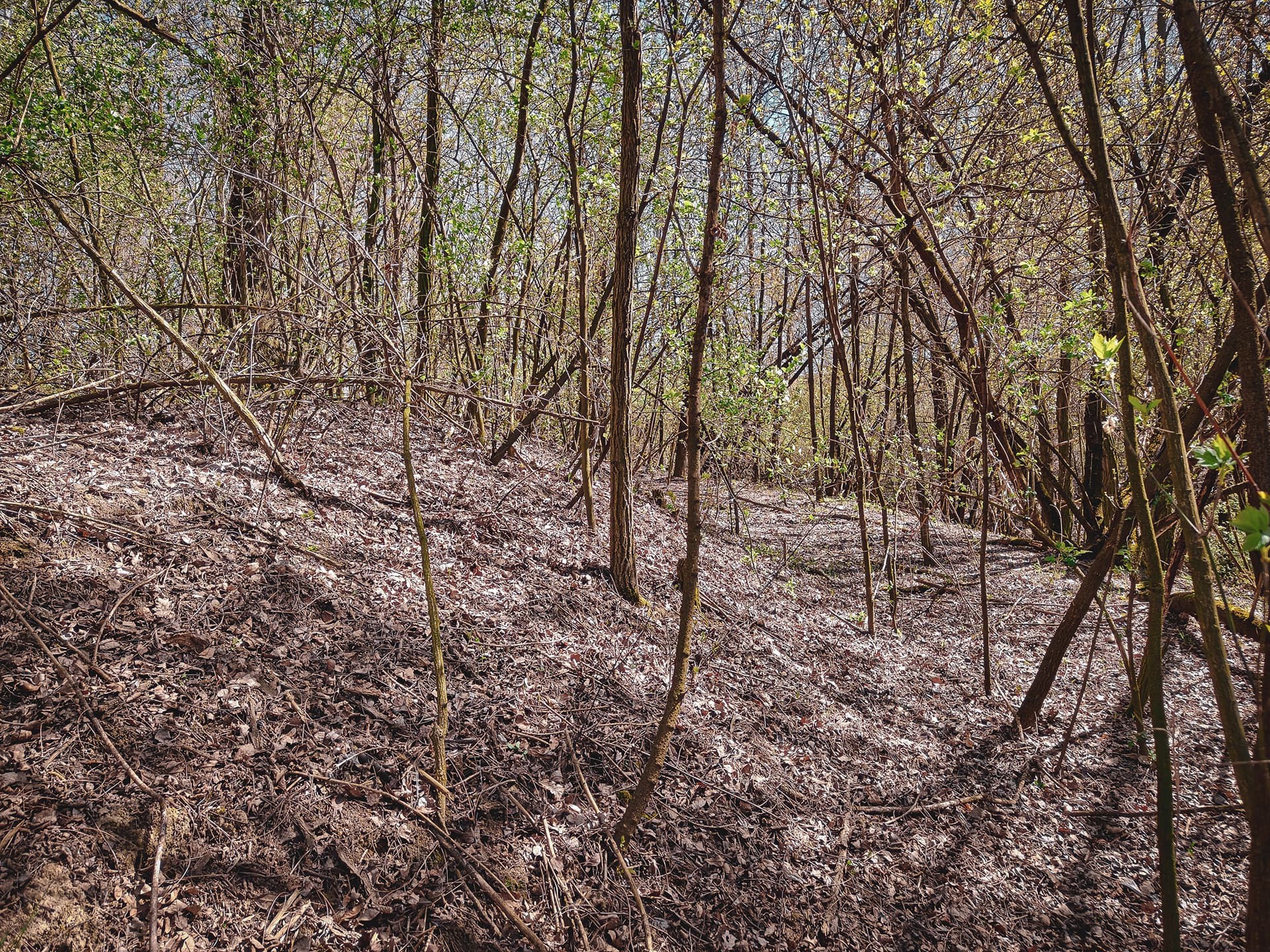
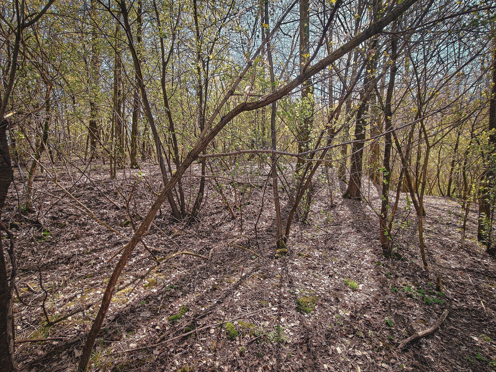
After a short walk and pushing through a rather distinctive, poorly preserved forest filled with fallen trees, we reach the destination of our excursion. A thin layer of humus, while effectively covering the faint remains of former inhabitants, suggests two possibilities: either the current tree cover bears little relation to the forest complex shown on 18th-century maps (as their later versions might indicate), or the soil conditions here are exceptionally unfavourable for vegetation.
As is often the case, the truth likely lies somewhere in between. The forest covering land unsuitable for cultivation once served as an important source of firewood for local inhabitants, while the visible variability of the substrate and a prehistoric coral fragment found right by the field boundary indicate that vegetation does not have an easy time here. This, however, applies only to selected small areas, as the region is known for some of the most fertile soils in the country—its loess and chernozem deposits have attracted farmers for millennia.
After a closer inspection of the embankments, which always make a much stronger impression in the field than on digital elevation models, attention is drawn to an open area on the north-eastern side. Is this the result of ancient, no longer visible ploughing, or perhaps a trace of activity by “uninvited guests”? It is difficult to assume that the site would have lacked any form of protection from its most gentle approach, especially given how well the embankments on the southern side—along the steepest slope—have been preserved.
Post-and-beam structures still alive
Also noteworthy is a deserted—or possibly still being expanded—shelter located on the southern slope of the hill on which the site is situated. Due to the absence of occupants, only a brief inspection of the structure was possible, followed by a return to the vehicle left on the ridge.
The form of the building is reminiscent of the well-known earth-sheltered structures found elsewhere in Poland, such as the dugout within the ramparts of the hillfort near Bolesław. Meanwhile, the visible post holes intended for roof supports provide a clear, somewhat amusing reference to ancient construction techniques—especially within the context of the loess landscape surrounding Kraków.
Maybe a small stronghold, maybe a manor house — but definitely a settlement
While moving through the area of the site identified on the basis of LiDAR data, attention was drawn primarily to numerous pebbles, feldspars, jaspers, and other seemingly ordinary stones. Some of them, however, were clearly fractured, suggesting that they are not merely typical field finds—or at least that they did not arrive here and fragment solely through natural processes.
Following the field boundary towards the summit of the hill, it was worth taking a closer look at the material that may have been washed down from its sparsely vegetated slopes. In the typical landscape of loess uplands, near a watercourse, the surface of the field—from the forest edge all the way to the summit—proved to be noticeably saturated with traces of human activity.
Although the entire hill is surrounded by evidence of settlement activity, there are strong indications that its very summit may have remained outside the main focus of research. Sparsely vegetated, with limestone outcrops reaching close to the humus layer, it appears to be one of the most suitable locations for intensive use during various phases of habitation in this area.
What next?
Both the object identified on the map and confirmed in the field, as well as its surroundings—rich in traces of past human presence—suggest that it would be reasonable to inform the relevant institutions and specialists. At the same time, previous experience with traditional forms of communication does not particularly encourage taking such a step.
An alternative may be to engage communities gathered around specialist thematic groups. While not an ideal solution, it is often better aligned with the contemporary realities of information flow and may increase the chances of a quicker response. It should also be noted, however, that this form of communication carries a significant risk of encountering narratives of a speculative or pseudoscientific nature (in short, dealing with “turbolechites” 😉), which may further complicate a fact-based exchange of information.
Conclusion
Whether the anomalies identified both in terrain-shading analysis and during on-site visits represent relics of strictly defensive structures, or whether they should instead be associated with the manor mentioned in Henryków documents, remains an open question.
At this stage, all such interpretations remain within the realm of hypotheses requiring verification by specialists.
Regardless of its final identification, the site itself deserves attention. If even part of the proposed hypotheses is confirmed, it could constitute a significant addition to the knowledge of settlement patterns in the Kraków region and its hinterland. If this were indeed a knightly residence of the motte type, it would likely be the only surviving relic of its kind within the city limits—and a rather surprising discovery at that.
A separate issue remains the hill dominating the area itself—this is already an entirely different story, belonging to the domain of archaeologists. The Wróżenice region is unlikely to run out of material for analysis anytime soon, assuming that the current research approach does not change significantly, which is by no means a given.
What remains certain is that the “theory of colourful pebbles” has so far not been disproven by reality 😉
Time to return to standard rides—after all, that is what this service was created for, although judging by recent entries, it is increasingly difficult to notice. Just Kraków weather doing its thing 🤧