
In the Shadow of History. The Secrets of the Kobylańska Valley
There is no shortage of forgotten stories, curiosities and unusual places in Kraków and its surroundings. And while each of these categories has its own distinctive charm, after publishing a few articles on the website, one might get the impression that the most frequently explored and described subject, at least for now, is that of former human settlements. Their history here goes back to a time when mammoths still roamed the area we are interested in — within a 100-kilometre radius of Kraków.
Of course, traces from much later periods are far more common, or at least much easier to come across. Although, in the Kraków area, you could even say that you practically stumble over them.
This is largely due to migrations from the south and the fertile lands surrounding the city to the north. From the Early Stone Age through to the Roman period, these lands were inhabited by successive communities who left behind plenty of traces of their presence. Today, increasingly sophisticated agricultural machinery eagerly brings them to the surface.
There are considerably fewer, but often much more impressive, remains from the later Early Middle Ages. Burial mounds, cemeteries and substantial hillforts are plentiful in this area. You can explore them by selecting the appropriate filter or category.
The same cannot be said of the High and Late Middle Ages. Almost everyone knows, or has at least learnt about, the Romanesque and Gothic churches, castles and historic buildings of Kraków.
Outside the city limits, however, there are far fewer of them. Apart from largely ruined castles, we are mostly left with religious buildings. Given that Poland was once a land of timber construction, it is hardly surprising that relatively few wooden structures have survived to this day. Movable artefacts have either rotted away, rusted beyond recognition or disappeared beneath thick layers of concrete.
The Kobylańska Mystery
Which category does the destination of this particular trip belong to? To put it mildly, it is rather difficult to say. Just like the sites mentioned and described in some of our previous articles, it does not appear in any records, documents or publications known to us.
It is neither a listed historic monument nor even an object recorded in the relevant registers. There is no trace of it on old maps, nor does it appear in spatial development plans. A ghost site.
We do not know what it is — or rather, what it once was — when it was built or what purpose it served. We can, however, point out that it fits the pattern of manor houses, strongholds and fortified residences mentioned earlier.
We are therefore dealing with a location offering considerable defensive advantages, from which one of the routes used by travellers could have been monitored. The final ingredient in this particular recipe is convenient and reliable access to a water source. And this is where a certain problem arises — one that may have contributed to the fact that the subject of this article is now little more than a barely visible trace in the landscape rather than an impressive building.
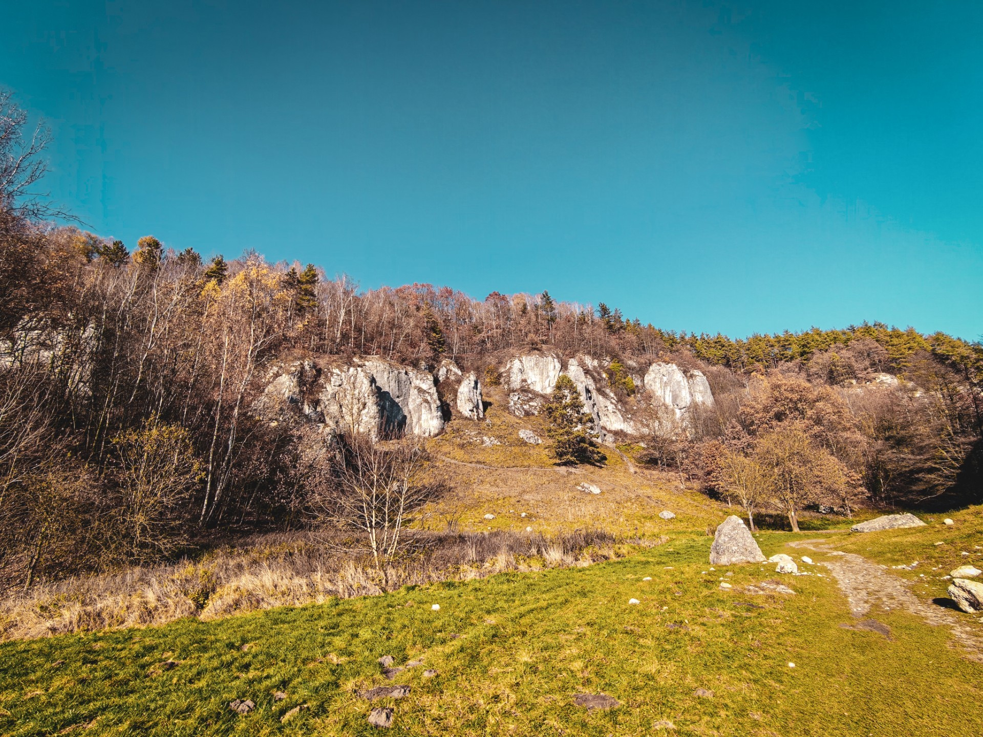
Today, we are heading to one of the most beautiful valleys around Kraków: the Kobylańska Valley. It is full of open meadows, limestone outcrops, caves, rock shelters, deep ravines and the Kobylanka stream.
And this is precisely where the problem lies. Near the remains identified on the map, the aforementioned stream disappears completely. Today, the Kobylanka’s channel is filled with water only periodically, and the moisture usually arrives just as suddenly as it disappears.
Was there a permanent flow of water in the stream when the site was in use? Or could there be a well carved into the rock, hidden beneath layers of soil, scree and leaf litter?
The Lost Seat of the Topór Clan
Although the history of the Toporczyk family’s original residence remains shrouded in mystery, the heading above is, of course, shameless clickbait.
Looking at the remains of an unidentified structure hidden in the dense forest through LiDAR imagery, it is difficult at first glance to work out what it actually was. Could it have been an estate belonging to the Carmelites of Czerna, a farm belonging to the owners of Będkowice, or perhaps much later, more contemporary farm buildings that were eventually demolished and forgotten? Maybe a 19th-century villa or a recreational property?
The fact that these are not merely random terrain anomalies is suggested not only by the unnatural arrangement of the visible rubble, which forms an arc or an L shape with straight sides — something rarely found in nature. Perhaps even more telling is the broad road winding along the steep slopes. It is difficult to imagine that the local population would have built a route through such challenging terrain purely for their own amusement.
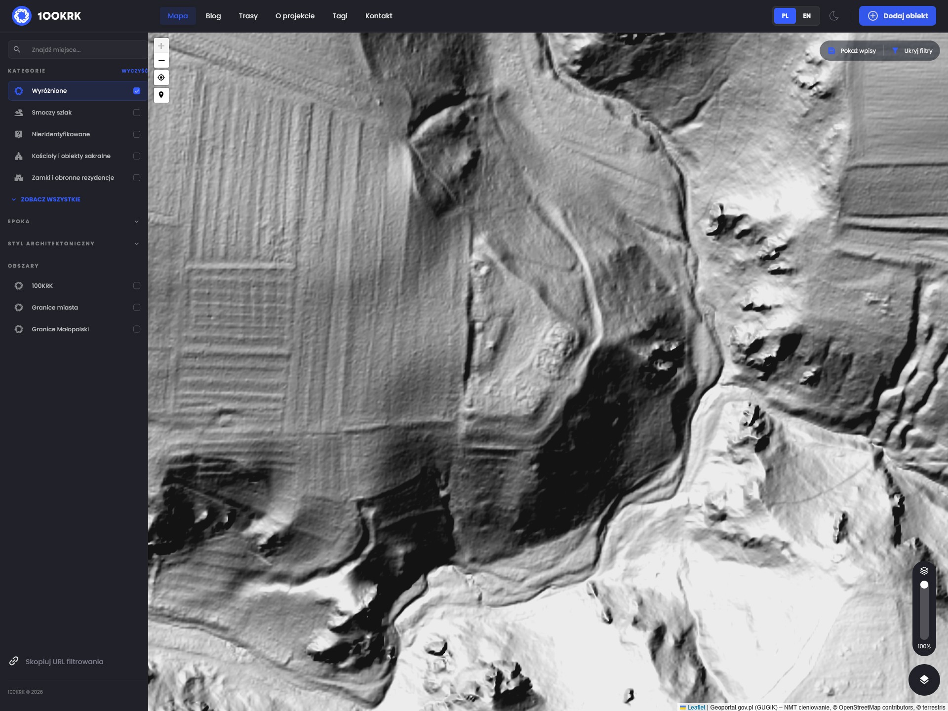
The location and scale of the anomalies, on the other hand, suggest a defensive character. We can see not only two lines of embankments, a road running around the site to the south and a smaller branch approaching the hill from the north-east, but also other features that are difficult to associate with an ordinary peasant homestead.
The size and layout of the visible structures do not suggest otherwise either. Only someone genuinely wealthy could have afforded buildings of such considerable dimensions, apparently constructed of masonry.
Right next to the anomaly that interests us, there are clearly visible fields, now hidden beneath the canopy of the beech forest. The absence of a clearly defined road leading to the presumed estate allows us to speculate that it may have been abandoned a long time ago, never completed or — though this seems unlikely — accessible only by the arduous route climbing directly from the bottom of the valley.
Time for a Trip
While digital exploration of the landscape is convenient, it can also be rather depressing. After all, this is a website about places worth visiting, with a particular focus on two-wheeled vehicles.
In the case of the Kobylańska Valley, however, our options for getting there on two wheels are limited to a bicycle or leaving the motorcycle in one of the car parks provided for visitors and continuing on foot.
The valley itself deserves a separate article, so this time we will not go into detail about its natural and scenic attractions.
Regardless of whether we approach the valley from the north or south, start from the car park in Będkowice or try some of the wilder paths running through the ravines that lead into the valley, our destination is more or less its centre. More precisely, it is the promontory rising above the Marcinkowski Crag.
Naturally, you can also find the location we are interested in on the 100KRK map.
No Surprises
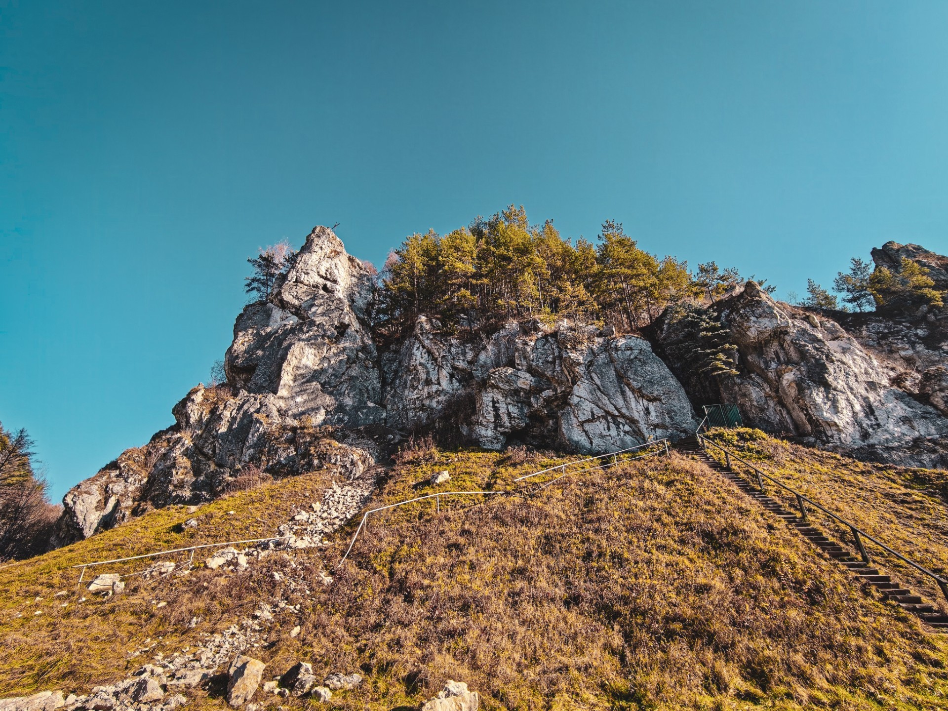
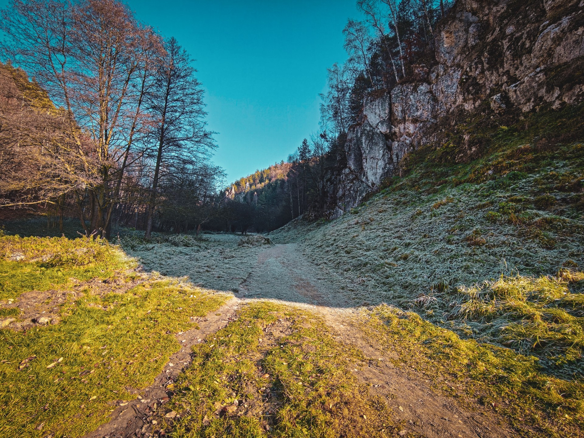
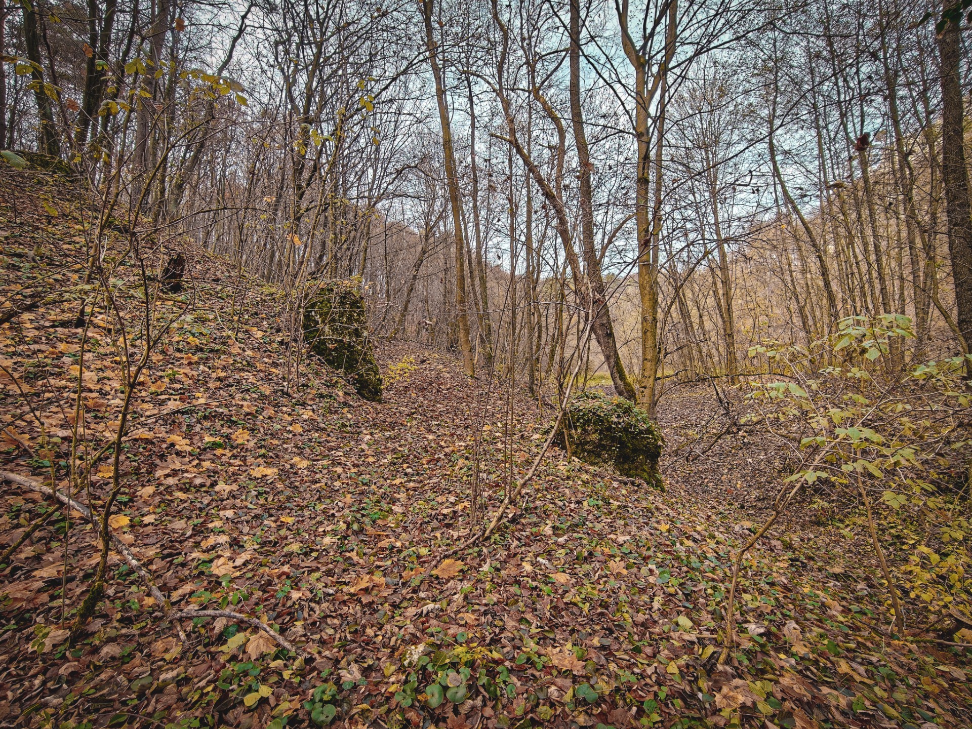
Once we reach the aforementioned Marcinkowski Crag, the road visible in the LiDAR imagery turns out to be wide enough for a modern car. Another feature worth noting is a kind of gateway formed by two limestone rocks standing on either side of the road. It is difficult not to get the impression that this is a natural formation rather than something created by human hands.
We leave behind the dry bed of the Kobylanka, which has clearly been through quite a lot, judging by its shape and the limestone rubble lining it, and begin climbing the relatively gentle road.
As we make our way through the valley, it is worth keeping an eye out for rockfalls that periodically damage the old tourist and religious infrastructure. Not least because we would rather avoid being in the wrong place at the wrong time, when the forces of nature, acid rain and climbers’ drills finally overcome one of the limestone outcrops — and send a falling boulder our way.
It is also worth watching where we step in the area discussed in this article. If the promontory we are heading towards really does conceal a former human settlement, traces of its existence may be lying right beneath our feet.
It is difficult to spot any evidence along the popular yellow trail running through the valley, if only because it was most likely trampled into the ground decades ago. Things are different on the path leading to the top of the promontory. Although clearly visible, it is hardly ever used by tourists visiting the valley.
In this case, traces of former buildings — or perhaps simply of more mundane human activity — may be found just beneath the leaf litter, or even lying on top of it. Steep slopes have a tendency to succumb to gravity and the weather, regularly shedding whatever may once have been located above them.
When basing our conclusions solely on laser-scanning imagery, we can — and indeed should — remain rather cautious. Nevertheless, the size and arrangement of the anomalies do not suggest that the top of the hill was occupied by the typical small wooden cottages found in the surrounding area.
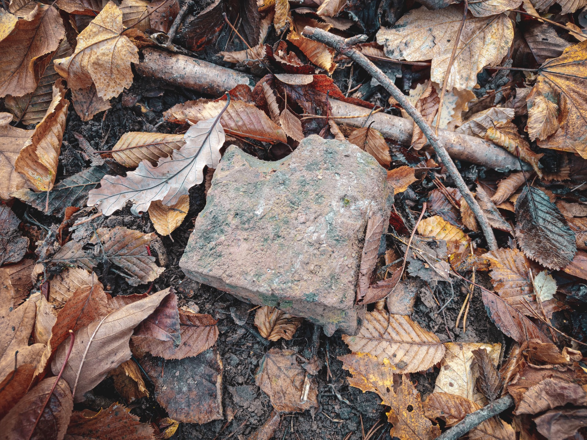
It is therefore hardly surprising to come across unusually well-shaped limestone rocks and bricks along the old road leading uphill. The very presence of bricks deep inside the valley would be unusual enough, particularly when their appearance differs from that of those manufactured using contemporary production methods.
A Sacred Grove
Given that this is, after all, a sightseeing trip, we will skip any attempts to determine the provenance of the aforementioned ceramic artefacts or speculate about their age, and continue towards the summit.
Right next to it, the steep and fairly high embankments we had previously identified on the map become clearly visible, along with the road running around them to the south.
The final ascent did require some help from the vegetation growing on the slope, but we made it without any unnecessary adventures — such as slipping on the wet leaf litter.
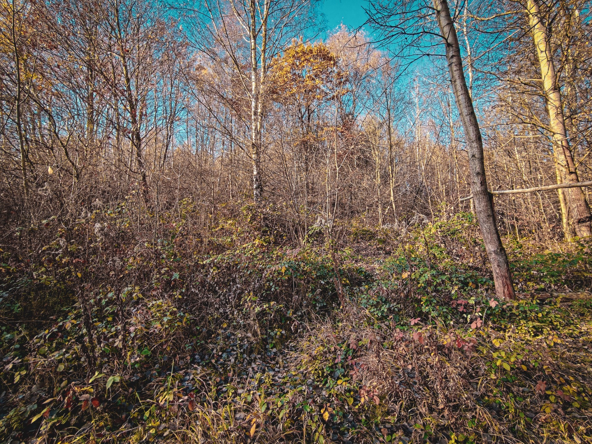
Avoiding this kind of adventure was already quite a pleasant surprise in itself, but an even bigger one awaited us just after reaching the flat section at the top of the hill. The first thing to appear behind the edge of the embankment was a barbecue grill — or, more precisely, its grate — along with other signs of recent human activity in the area.
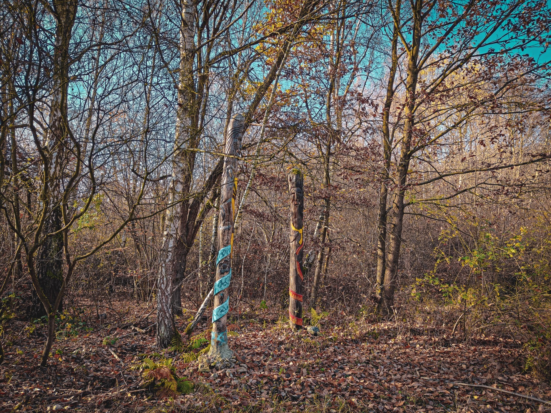
A few metres further on, we found evidence of a more traditional way of preparing meat in the form of a fire pit. A few steps beyond that was another, somewhat more carefully constructed fire pit, reinforced with limestone rubble and watched over by two rather imposing deities standing nearby.
It is worth noting that the idols, effigies or simply sculptures of pagan deities must have been used no more than two years before this article was published, judging by the vivid colours of the paint used to decorate them. We can therefore assume that this is an active Rodnovery place of worship. Evidence that this is not simply an atmospheric meeting spot includes not only the vegetation making access difficult — much of it armed with thorns — but also fragments of ceramic vessels in which offerings were apparently placed for the gods represented by the statues.
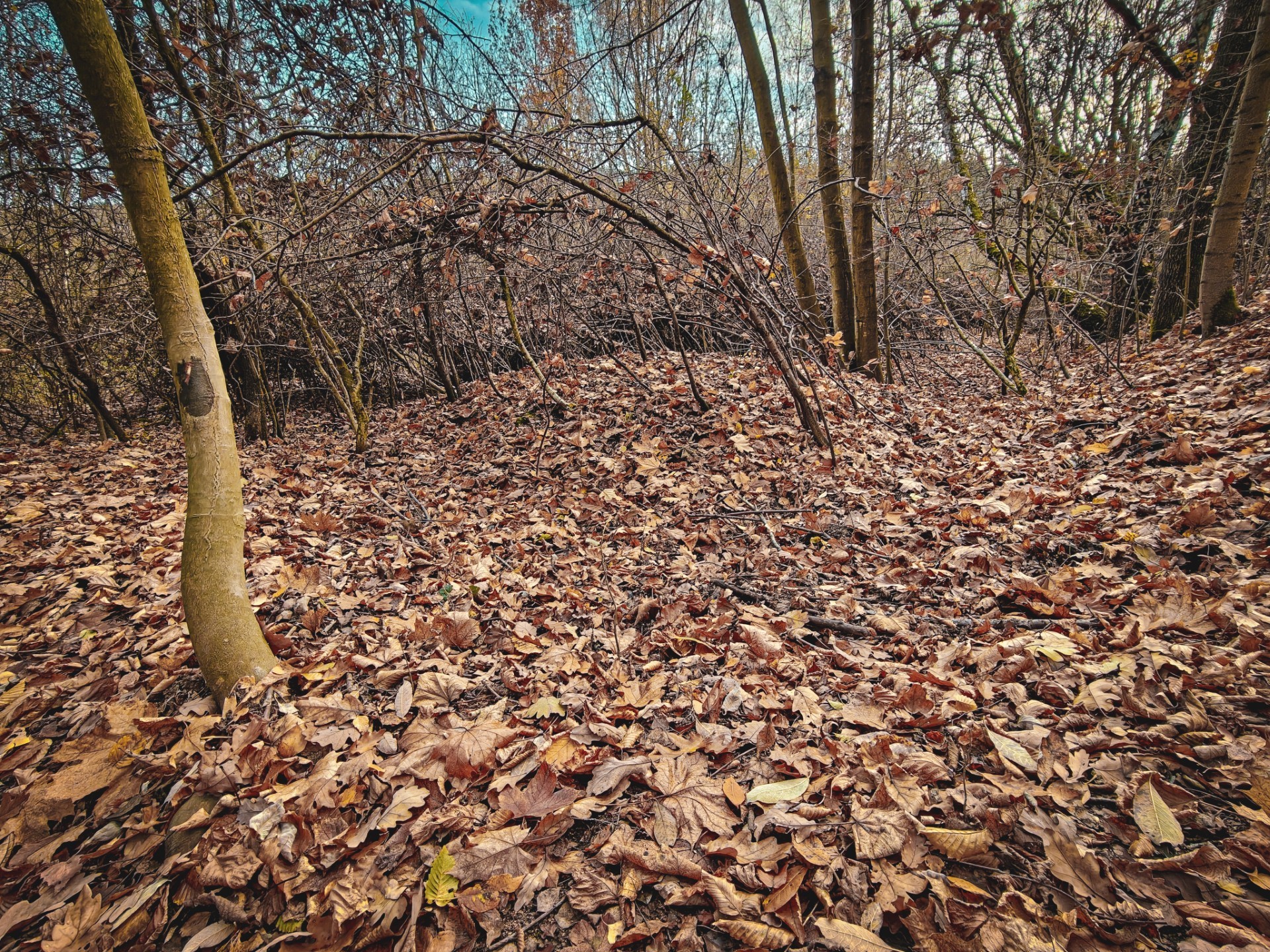
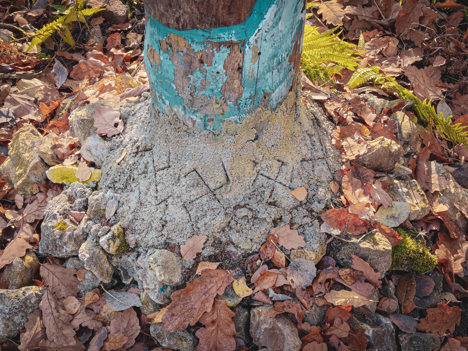
The level of craftsmanship was somewhat undermined by the concrete used to keep one of the posts upright. The swastikas carved into it did little to improve matters. Even so, it is difficult not to regard the traces described above as a curiosity worth noting.
Where did the idea for this kind of initiative in this particular location come from? Most likely, it has something to do with the traditional name of the area, which may point to pre-Christian practices once taking place here. The Kobylański Grove today covers the southern part of the valley, but it is difficult to determine where the Sacred Grove mentioned in the name might originally have been located. Perhaps it was right here, on the site that interests us? It is certainly possible. After all, building Christian places of worship on sites previously associated with older religious practices was a fairly widespread custom, and Kraków itself offers examples of this.
Could the remains of the buildings therefore be traces of ecclesiastical estates that replaced earlier religious structures in an attempt to overshadow the old rituals?
Retreat
We can leave these speculations for another time — or, better still, return to them after searching for relevant historical sources. To complement them with observations from the site itself, it was worth taking another look at the scattered remains across the promontory and checking the features visible in the LiDAR imagery.
Apart from a few better-preserved bricks and others that had been completely burnt, most likely by more recent visitors to the hill, it was difficult to spot anything else. The entire promontory is covered in very dense, thorny vegetation, and there is little point in getting tangled up in it without a machete.
Besides, it would be a shame to damage it.
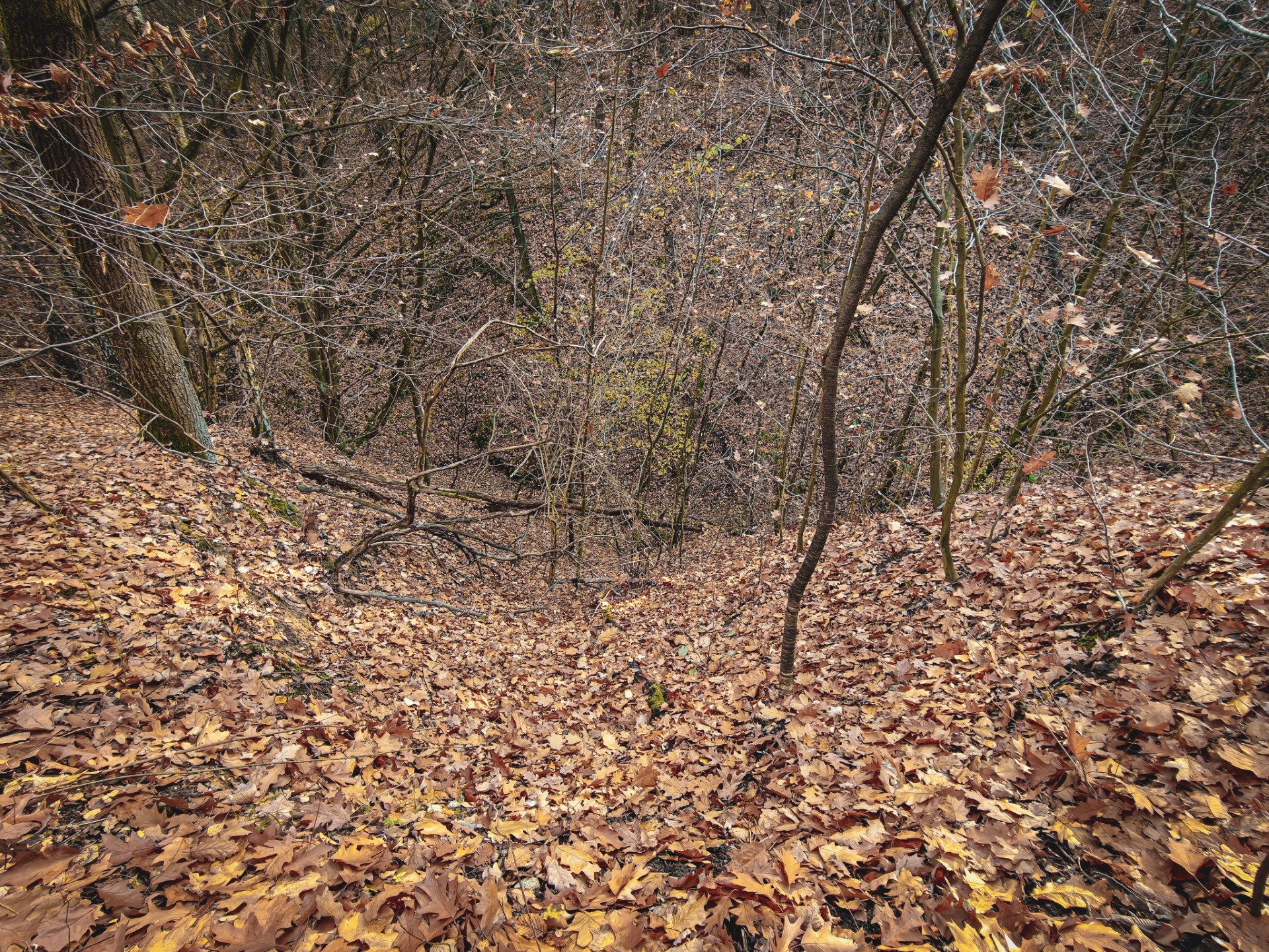
Some of the features visible in the LiDAR imagery are so distinctive in shape and height that even the surrounding bushes cannot conceal them. However, it is impossible to determine what they were without a shovel and a rake to clear away the leaf litter.
In any case, that is a job for professionals.
We have been unable to confirm whether the site had already been recorded, or perhaps even investigated and identified, by the time this article was being prepared.
It is therefore time to decide to turn back and devote some time to further research when the opportunity arises. Of course, we do not have to leave the valley by the same route. We can continue along the yellow trail, which runs through a substantial part of the valley, and finish our walk in the centre of Będkowice.
Along the way, we can also visit the Bzowski Mound marked on the 100KRK map, commemorating the former owners of the village — within whose historical boundaries the promontory we visited earlier is also located.
The history of Będkowice, the Bzowski family and the curiosities of the surrounding area, however, are subjects for an entirely different story.
And if you happen to know what the site described in this article once was, be sure to let us know.